
Screenshots
About
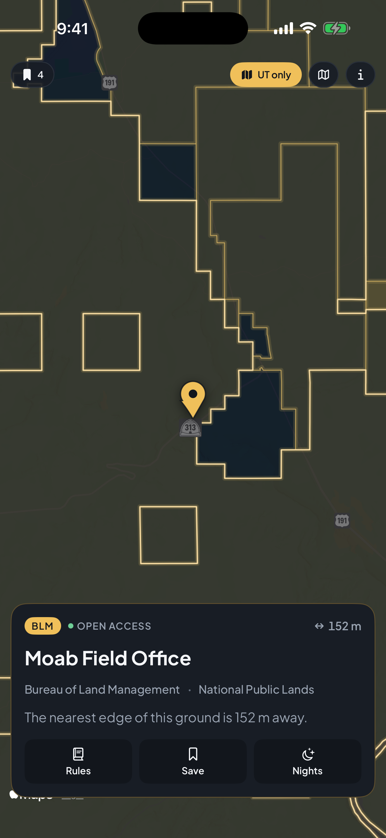
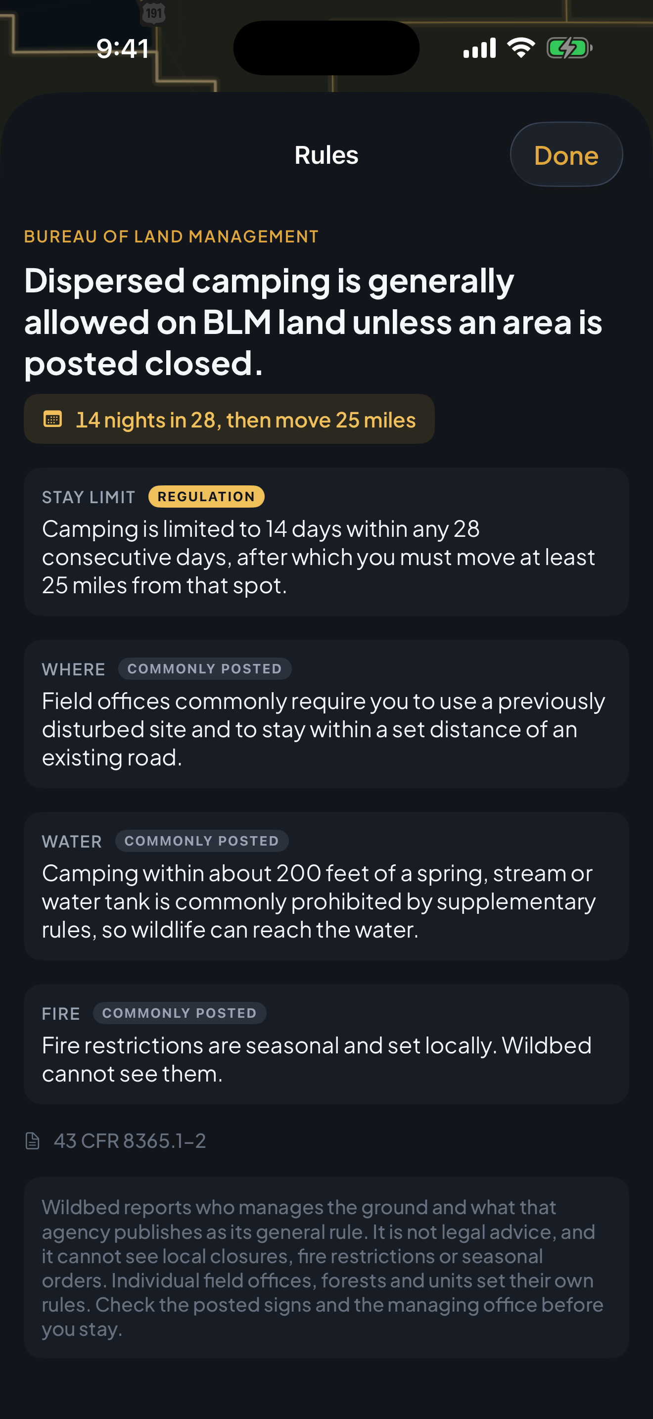
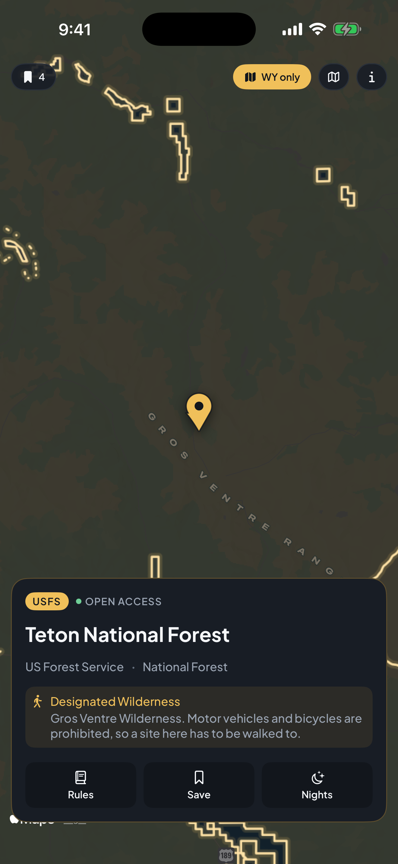
Every other app in this space drops a pin on a developed campground. Wildbed draws the boundary, which is the thing that actually decides whether you may stay. Drag the pin and the ownership polygon underneath resolves as you move: the managing agency and the unit name appear on the card, a measured line snaps to the nearest boundary edge with its distance, and crossing onto private ground drains the gold out of the map. The answer comes from PAD-US 4.0, the Protected Areas Database of the United States published by the U.S. Geological Survey, so the Bureau of Land Management, the Forest Service, the Park Service, wildlife refuges, Reclamation and Corps of Engineers land, military installations and state, county and city ground are all there, for the whole country. Beside the boundary Wildbed quotes that agency's own published rule about sleeping on its land, with the citation: 14 days in any 28 then move 25 miles on BLM ground, dispersed camping generally allowed outside developed sites on National Forest land, designated sites only in a National Park. Each rule marks which points are the regulation and which are merely commonly posted locally, so you can tell law from custom. Designated Wilderness sits on top of Forest Service and BLM ground and changes the answer completely, because vehicles are prohibited and a site has to be walked to, so Wildbed carries that layer separately and flags it. A nights tracker counts stays per unit against that unit's own window, because 14 in 28 is the rule people break by accident. Everything travels inside the app: no account, no sign in, and no network request of any kind, so it works with the phone in airplane mode, which is the state you are actually in when the question comes up. Wildbed never says camping somewhere is legal. It says who manages the ground and what that agency publishes.
Features
- The ownership polygon under your pin, not a campground pin
- PAD-US 4.0 from the U.S. Geological Survey, the whole country
- A measured line to the nearest real boundary edge
- Each agency's own camping rule, quoted with its CFR citation
- Regulation and locally posted custom clearly told apart
- Designated Wilderness and Wilderness Study Areas flagged
- A nights tracker for the 14 in 28 rule, counted per unit
- Entirely on device: no account, no server, no network request